

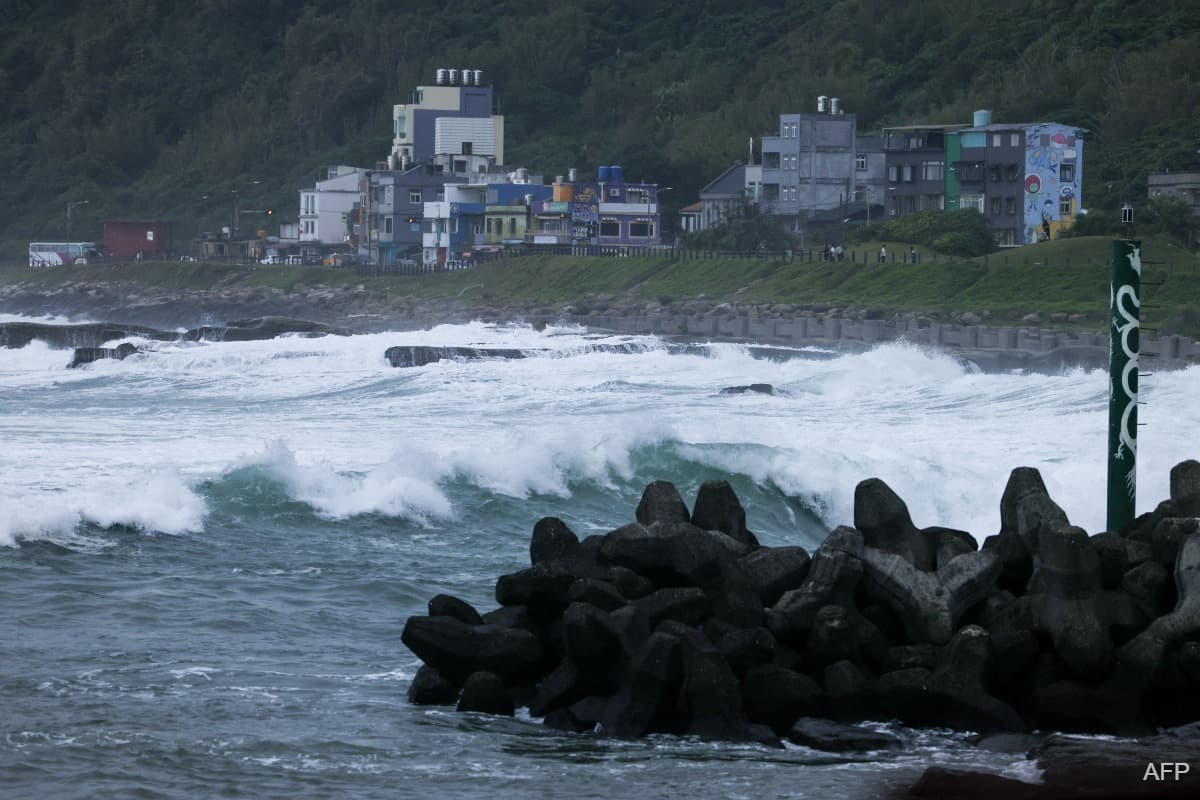
(Oct 22): East Asia is bracing for the latest in a string of powerful storms fuelled by El Nino, with Typhoon Champi disrupting flights and threatening heavy rainfall as it tracks towards Taiwan.
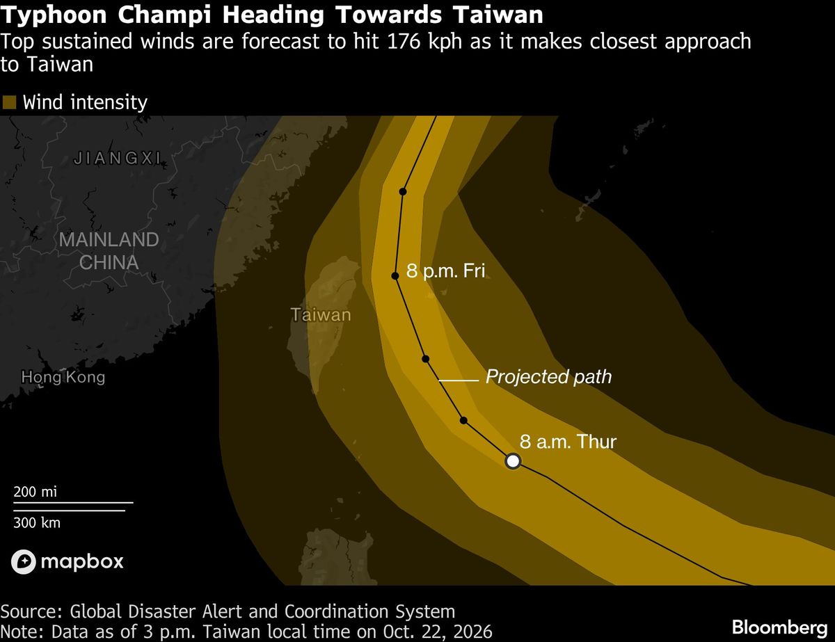
Champi is currently 713km (443 miles) southwest of Japan’s Okinawa and forecast to pass closest to northern Taiwan late on Friday into Saturday, according to the US Joint Typhoon Warning Center (JTWC). While the storm has weakened slightly from super typhoon strength, it’s still packing top sustained winds of 213km per hour, equivalent to a Category Four hurricane.
It’s the 10th storm in the northwest Pacific Ocean to hit super typhoon strength this season, double the long-term average and just shy of a record 13 in 2015 — also an El Nino year, the Hong Kong Observatory said. Champi is among the most powerful this year, based on wind speeds and central pressure, according to Climatlas, a database maintained by the meteorologist Ryan Maue.
“El Nino is the main driver,” said James Caron, director of meteorological operations for North America and Asia at Atmospheric G2. Storms tend to form farther east during the climate phenomenon, giving a cyclone more time to accumulate energy over open and warm waters as it churns toward land. “That time is what lets it reach super typhoon strength,” Caron added.
Taiwan is expected to take the brunt of Champi’s impact, with torrential rain and destructive winds threatening the island. The storm is forecast to maintain typhoon intensity as it brushes the eastern coast of mainland China over the weekend before heading toward Kyushu in southwest Japan, the JTWC said.
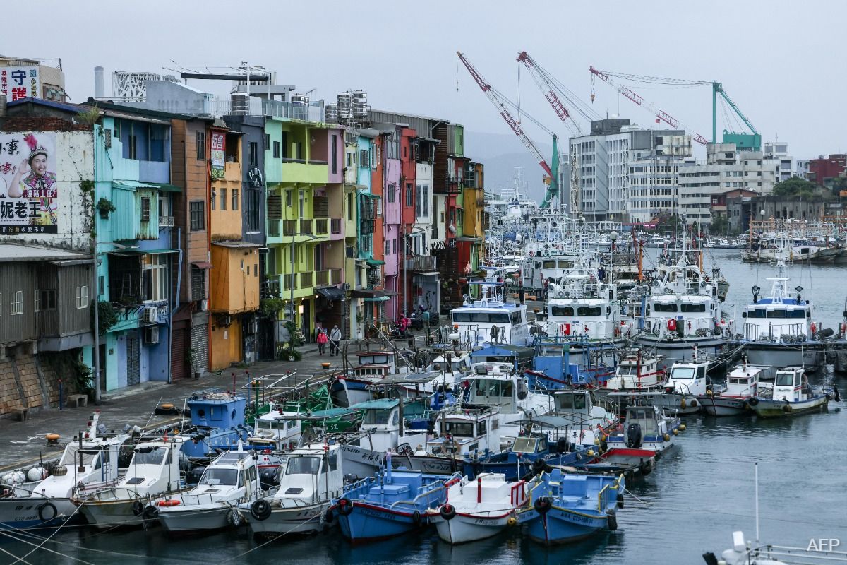
Taiwanese authorities are expected to make a decision later on Thursday on whether to close Taipei’s schools and offices, and potentially halt trading on the Taiwan stock exchange. At least 125 flights have already been cancelled as of Thursday morning, according to Taiwan’s Civil Aviation Administration.
There still remains considerable uncertainty over Champi’s track, with artificiak intelligence-based models keeping the typhoon offshore of Taiwan while many physics-based models show a brief landfall over the island’s north. That should become clear within about 24 hours, Atmospheric G2’s Caron said.
“The biggest threat is extreme rain over northern and northeastern Taiwan,” he said. “In late October the northeast monsoon is already in place, and a typhoon passing nearby pulls that flow into the island’s terrain,” potentially dumping as much as 18 inches (457 millimetres) over greater Taipei and risking catastrophic flash floods and landslides, Caron added.
As Champi veers close to the Chinese coast, it is forecast to bring heavy rains to Shanghai and parts of Zhejiang province this weekend, according to the China Meteorological Administration. The weather bureau is also warning of farmland waterlogging and wind damage to crops in coastal areas of Zhejiang and Fujian provinces.
Uploaded by Felyx Teoh