

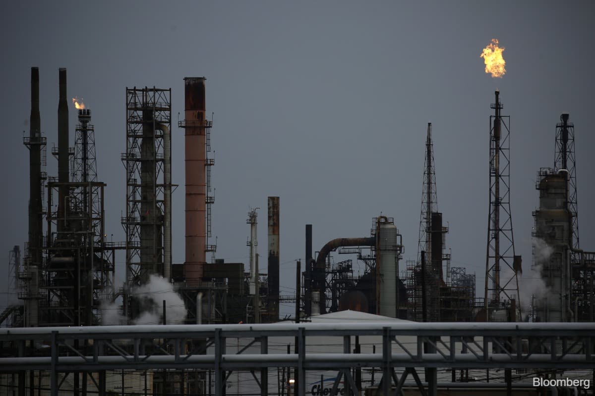
(Oct 8): Hurricane Isaias is intensifying in the US Gulf, marking the first such cyclone in the Atlantic this year, with oil and gas producers shutting in wells and evacuating personnel as the storm tracks towards the coast.
Isaias is packing top sustained winds of 80 miles (129km) per hour, and is about 420 miles south-southwest of the mouth of the Mississippi River, the US National Hurricane Center said in an advisory at 5am New York time. This Atlantic season has lagged well behind the usual pace, with the first hurricane normally developing in the second week of August.
By Wednesday afternoon, offshore producers had already shut in roughly 25% of crude output and 16% of natural gas production through the region, according to the federal Marine Minerals Administration. Workers at eight platforms and two dynamically positioned rigs had also been evacuated.
Isaias is expected to intensify further on Thursday as it moves through near-record-warm water and moist air. US forecasters are increasingly confident that the hurricane will land east of major energy assets off the coast of Louisiana and Texas around late Friday or early Saturday. Any shift westward would bring more offshore production and energy infrastructure into the storm’s path.
Emergencies have been declared in more than 70 counties closest to the storm’s expected path in Alabama, Florida and Mississippi. Though the storm may weaken again, NHC forecaster Brad Reinhart wrote on Wednesday that it’s on track to remain a dangerous hurricane at landfall.
Florida Power & Light Company activated its emergency response plan on Wednesday in preparation for significant storm surge and tornadoes in the Florida Panhandle. The utility said it will pre-position its own crews to respond to power outages and tap additional personnel from other utilities and electrical contracting companies.
The Midcontinent Independent System Operator, which serves about 45 million people, declared conservative operations in the Gulf Coast region through Oct 10. The notice is meant to prepare the grid for stressed conditions.
Isaias arrives at a precarious time for oil markets. Amid strain from the Iran war, there’s little cushion for disruptions to diesel production, the workhorse fuel used by trucks, trains, industry and for heating. Barring a change in the storm’s track, Chuck Watson, a risk modeller with Enki Research, said the disruption to both oil and gas production would likely last no more than a week.
Watson said effects from Isaias could extend eastward to Pensacola, Florida, and Eglin Air Force base in the western Florida Panhandle before the storm collapses. If that comes to pass, potential damages and economic impacts may exceed US$4.5 billion (RM18.37 billion).
The storm has already triggered the closure of Mexico’s largest gateway for fuel imports. The port of Tuxpan has been closed since late Monday afternoon.
By Wednesday evening, hurricane watches and storm surge alerts had been posted from Mississippi to Florida. As much as seven feet (2.1 meters) of water could push inland on top of high tide, the center said.
Forecasters have warned that the risk of damaging winds is rising along the Florida Panhandle, southern Alabama and Mississippi. Heavy rains are expected to extend for miles, bringing a threat of urban flooding and isolated river flooding in the US Southeast.
This Atlantic season there have been eight named storms, none of which became hurricanes. By early October, an average season typically has produced about 11 named storms, including five hurricanes and two major hurricanes.
Strengthening El Niño conditions have increased wind shear that helped suppress activity across the basin. Shear occurs when winds change speed or direction at different altitudes, disrupting a storm’s structure.
Uploaded by Felyx Teoh