

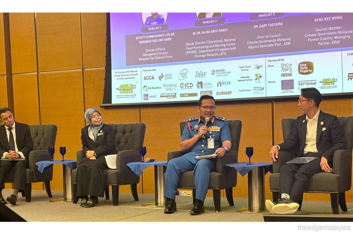
KUALA LUMPUR (Aug 5): Artificial intelligence (AI) can play an important role by reliably stringing multiple sources of information to help with flood forecasting and management, said Gary Theseira, Climate Governance Malaysia council chairman and Asia School of Business adjunct associate at the National Climate Governance Summit 2026 held in Sasana Kijang on Tuesday (Aug 4).
Rather than having information be processed by humans behind a screen, an AI can put together risk maps, early warning maps and other live information to be sent out and ensure that people and their property are safe, said Theseira during a panel titled “From preparedness to resilience: Strengthening Malaysia’s national disaster readiness in a changing climate”.
The information gathered can also be used for disaster relief to gauge the stockpiles of equipment and food available for flood victims.
As more data is collected by an AI, Malaysia can build more data to be fed into planning systems and aid in predicting future floods, as well as planning for water excesses and shortages.
“It doesn’t matter if we’re planning for this year or the next five years. The idea really is there are only parts of our country that are going to be more impacted by the four types of floods that we’ll see and we need to know what types of infrastructure can be put in these areas,” said Theseira.
In addition to data gathered from rainfall and dams, he suggested that every single mobile device can become a source of data as there are many examples of apps that can turn a smartphone into a sensor, which can become another source of dependable and timely data.
This solution was mentioned due to the limitations of remote sensors in terms of data resolution, as well as the difficulties and maintenance associated with installing a network of sensors on every single river, every dam and low-lying areas.
“As long as there are some minimum criteria for the quality and veracity of data, then every single mobile phone can actually become a source of early warning,” said Theseira.
Leveraging technology for flood management addresses a concern brought up by Dr Salwa Ramly, deputy director of operations of the National Flood Forecasting and Warning Centre (PRABN) in the Department of Irrigation and Drainage Malaysia (JPS), who said that communication on flood warnings across the public and government agencies can be improved.
“One thing about communication in our department is we like to have the infrastructure to communicate. Let’s say we have the warning [of a flood about to happen] in the rural area, but the area doesn’t have a communication tower. [This causes] the public to not get information [about it],” she said.
There are four types of flooding in Malaysia, she explained. Monsoon flooding, which typically happens from November to March, is now occurring earlier, and the number of surges has increased, reaching a wider area.
Flash floods frequently occur in urban areas, even during dry seasons like August because of intense rainfall events. Coastal floods, meanwhile, take place when there are high tide and heavy rainfall. The excess water in rivers cannot flow into the ocean.
She also said agencies such as the Malaysian Communications and Multimedia Commission should handle the communication of flood warnings to ensure that all communication infrastructure is available throughout the country.
“The way our department is trying to settle this problem is by building coastal bunds to protect agriculture sites or villages along the coastal area,” she said.
Lastly, stagnant floods are more common in low-lying areas, where the water must be pumped out.
It is important to educate the public on how they can access flood warnings and what to do when they receive it, said the speakers.
“We need to have flash flood drills in villages, schools, orphanages and retirement homes. People who are [on their mobile phones] need to understand how to respond [to flood warnings],” said Theseira.