
This article first appeared in Digital Edge, The Edge Malaysia Weekly on March 11, 2024 - March 17, 2024
A decade ago, just before computer programmes that simulate real-world products or processes using virtual representation became popular, software engineer George Tang was faced with the challenge of designing basic software that could read and manipulate 3D models for an engineering firm.
He was toying with a tissue box while pondering the task at hand when the idea of integrating photos of the box in a photogrammetry application to create a digital replica came to him. This was the foundation for a rudimentary software that he has since scaled up to help ease urban planning and smart city development in the country.
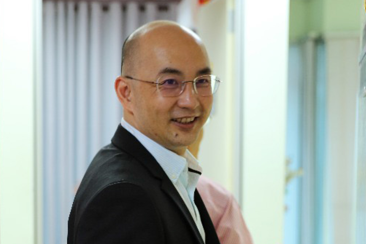
“It is taxing to hand draw maps and blueprints of any given location. Even when the computer does it, you still need a human being to look out for accuracy. With digital twins and 3D modelling, the data and imaging are almost accurate,” says Johor-born Tang, founder and director of Graffiquo Asia Sdn Bhd (formerly known as Gururealiti Pte Ltd), a visual and geospatial intelligence centre.
Digital twin technology has been gaining ground, owing to its potential to bridge the gap between the physical and virtual worlds. Building on the basis of 3D modelling, Tang’s vision includes the creation and advancement of digital twins.
“Graffiquo’s digital twin technology enables companies to create real-time virtual replicas of their physical assets in a dynamic virtual world. We do this by aggregating data from various sources, constructing intricate 3D models and ensuring constant data synchronisation,” he explains.
Notable projects that the start-up has been involved with include the digital twinning of roads with the Selayang Municipal Council, Putrajaya Corporation and Penang Island City Council, as well as the Malaysia-Singapore Rapid Transit System (RTS).
“We helped with urban planning and infrastructure management. One of our projects is the smart valuation map of 100km of Majlis Bandaraya Petaling Jaya’s (MBPJ) road pavement project,” says Tang.
The company is currently in talks with Petroliam Nasional Bhd (Petronas) on creating more digital twins of its operational sites. The start-up started working with the national oil and gas company in 2022, when it created digital twins for five sites.
“We created photo-realistic digital twins of its facilities and made them accessible on the Graffiquo platform for expanded utilisation,” he says.
With the Malaysia Smart City Framework (MSCF) rolled out by the Ministry of Housing and Local Government in 2018, which is aimed at addressing urban challenges due to inefficiencies in services, pollution and traffic using smart city solutions, Tang is optimistic that 3D modelling and digital twinning can help city councillors overcome these challenges.
Graffiquo is also engaged in development projects in the region. In 2022, the geospatial start-up partnered with Cauayan, a typhoon-prone city in the Philippines, to use drones and its digital twin software for disaster recovery planning in the city’s efforts to deal with the impact of winds and storms that annually ravage the archipelago of more than 7,600 islands.
The company’s digital twin platform converts drone images into a 3D model of the city, then uses artificial intelligence (AI) to assess the damage done to houses, crops and livestock.

Doubling down on the future
Most urban planners use digital twinning, which can show 3D and 4D spatial data in real time and incorporates augmented reality systems into built environments.
A digital twin serves as a meticulously crafted virtual representation of a physical entity, aiming to mirror its characteristics and functionalities with precision. Using a wind turbine as an example, IBM explains how a turbine outfitted with an array of sensors that monitor critical aspects of its operation, including energy production, temperature and weather conditions, could be supervised remotely.
The data collected by these sensors is then transmitted to a processing system, where it is used to update the digital model. Once enriched with this data, the virtual model can be employed for simulations, performance analysis and the exploration of potential enhancements. The primary objective is to extract valuable insights, which subsequently can be applied to improve the real-world physical object.
This is precisely the reason the demand for digital twin software is expected to experience substantial growth in the foreseeable future, thanks to the increasing adoption of sensors fitted with the Internet of Things (IoT) and big data analytics. This growth is fuelled by the escalating demand for cost-effective operations, process optimisation and reduced time to market.
At the same time, the creation of digital twins will continue to evolve in line with the innovations in virtual reality and augmented reality, thereby boosting the industry’s growth. According to the Grand Market Research Analysis Report in 2022, the global digital twin market was estimated at US$11.13 billion in 2022 and is projected to grow at a compound annual growth rate of 37.5% from 2023 to 2030.
As the adoption of digital twinning continues to rise and evolve, there is an increased need for the utilisation of these virtual models across industries, ranging from urban planning to product design and factory simulations. Companies that proactively invest time and resources in crafting digital twins aligned with their business objectives are poised to secure a valuable competitive edge in their respective domains.
“As a start-up, I think the important thing is not always about the technology alone. There will always be great ideas, but for something to succeed, timing and perseverance are equally crucial. There will be a right time for everything to fall into place,” says Tang.
Humble beginnings
Tang, who grew up in Kulai, Johor, graduated with a bachelor’s degree in IT, having majored in software engineering, from the Australian National University in 1995. Although IT was still in its infancy and not many were pursuing it, he took a leap of faith.
“After graduation, I started as a software engineer at VADS Bhd, a technology solutions provider, which is part of TM [Telekom Malaysia]. This was when Malaysia had no internet facilities. My main focus was the backbone networking system [a network backbone links numerous networks, enabling seamless communication with each other] and from there, I was assigned to airport projects,” he tells Digital Edge.
Tang was one of the pioneer software engineers to be involved in the Kuala Lumpur International Airport (KLIA) project. As a systems integrator, he had three years’ exposure to integrating more than 40 subsistence systems and operations.
“It was the start to something in my life. I gained as much knowledge and experience as I could. But later, I wanted to quit after being in the same field for so long,” he recalls.
Deciding to opt for a career change after being an engineer for a decade, Tang and his former wife ventured into international trade, wanting to seize opportunities in the popular e-commerce scene and China’s industrial production and exports.
“There was a boom [around 2007] because China was leading the manufacturing industry. There were products introduced in and out. We bought goods, from industrial machines to healthcare appliances, from the Chinese. For nearly eight years, we did that and made our money there,” he says.
“I learnt about negotiation in goods trading and about the stock market. I also watched how people deceive others and get conned. I was one of the victims.”
Losing years of hard-earned money took a toll on him and his relationship with his family. He was jobless and spent more than six months living out of his car.
“I was too shy to reach out to anyone and ask for help. I had to fend for myself with whatever that was remaining from my savings. But due to the career gap, I had lost a sizeable amount of skills and had to do a lot of relearning,” he says.
It was then that a friend reached out and offered him a job at an IT company, to fill in a software engineering vacancy. In 2014, Tang accepted his friend’s offer and with the help of his former boss and friend, he started work on creating software to read and manipulate 3D models.
Stepping into 3D modelling
Tang’s idea was to make the 3D modelling software cheap and accessible, but it was not getting traction as it still needed re-engineering and did not have many use cases.
“I took about five to 10 photos of the tissue box and loaded it into the photogrammetry application, and it generated different angles of the object. I showed it to my boss and he told me, ‘Why don’t you try creating your own [a similar photogrammetry software]’,” he recalls.
Photogrammetry is the process of capturing images and stitching them together to create a digital model of the physical world.
“At first, I thought it wasn’t possible. But I was intrigued and started collecting photos on my handphone and [the app] generated a few models,” says Tang.
After exploring photogrammetry and 3D modelling, he focused on expanding it and experimented with physical buildings instead.
“[After some time,] I quit my job and dedicated time, energy and money to developing this software and turning it into a full-fledged business. Along the way, I made a lot of friends and built connections,” he says.
During the nascent stage, Tang had only two graphic designers, who worked pro bono while he used his earnings to rent a helicopter and buy a drone so he could take photographs of a bird’s-eye view of Kuala Lumpur for basic software.
Navigating through challenges
In 2016, Tang completed the software and established Graffiquo, but industry players were not convinced with the product, especially with the boom in AI and robotics.
“In the beginning, no one trusted us since we were new to the market and thought it was not as relevant. But in reality, we use geospatial technology in our daily lives with real-time direction platforms like Waze and Google Maps. Graffiquo offers a 3D visualisation platform that simplifies complex geographic data analysis, allowing businesses and government agencies to make data-driven decisions with ease,” he says.
Geospatial technology is not new in Malaysia. The country’s largest highway concessionaire PLUS Expressways Bhd deployed geographic information systems (GIS) developed by Esri Malaysia Sdn Bhd, which also specialises in geospatial technology, to develop location-based analytics. This allowed the company to gain insights using contextual tools to visualise and analyse data as well as leverage features like 3D mapping, drones and 360° aerial views of its highway operations.
“While our competitors specialise in a specific area of geospatial technology through the use of satellite data, we want to create a digital twin of locations, buildings and infrastructure, all while trying to make it into an application that clients can have access to and use,” says Tang.
“For instance, if you’re using Waze while you’re driving, it will tell you which direction to go and which route to take. But what we are trying to solve is to show you [or the driver] the accurate image of the building and the street view while using the navigation platform itself. All these ideas need funds.”
In 2019, the start-up applied for a grant from the Ministry of Finance-backed Cradle Fund Sdn Bhd in the hope of expanding its business and maintaining its operations.
“Two Malaysian agencies provided us with a grant. Cradle gave us a grant of RM300,000 in the first half of 2019 and Malaysian Technology Development Corporation Sdn Bhd provided a grant of RM3.5 million in the second half of that year. The funds were basically used for project implementation and product commercialisation,” he says.
The start-up was also part of the Petronas Future Tech 2.0 Accelerator in 2021 where it was able to create and present a 3D photorealistic modelling pilot project.
In 2019, Graffiquo expanded to Singapore. “Things were fast after the Singapore government understood our value and what we had to offer. We were awarded a grant by Infotech Media Development Authority (IMDA), and had the opportunity to present our work at the Innovfest Unbound conference and exhibition in June 2019,” says Tang. IMDA is the agency driving Singapore’s digitalisation journey.
Encouraged by the backing it received, Graffiquo subsequently acted as Singapore’s representative within the Smart Nation delegation and participated in the Smart City World Expo held in Barcelona in 2019. During the event, it established connections with the United Nations. This interaction ultimately resulted in the company forming a partnership with the “United 4 Smart Sustainable Cities” (U4SSC) initiative.
Other than wanting to be “the next boutique Google Maps”, Graffiquo intends to commercialise its software and consolidate it into an application for seamless usage.
“It is not easy to bring large data into small applications like handphones, but we are working towards making it much more seamless and accessible for large corporations, instead of having to deal with computer monitors,” says Tang.
Save by subscribing to us for your print and/or digital copy.
P/S: The Edge is also available on Apple's App Store and Android's Google Play.